Modeling tick populations
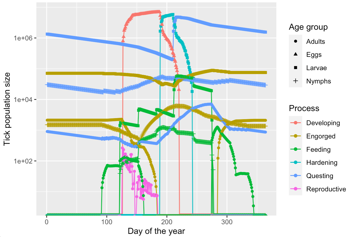
Tick population models aid in assessing how climate change impacts disease risk, and in designing tick control strategies. While models exist in the literature, source code is often unavailable, making models difficult to compare. With Middlebury Professor David Allen, I developed IxPopDyMod, a flexible R package for running such models and comparing outputs in different scenarios.
Optimal Big Day
Big Day is a global bird watching phenomenon in which birders try to observe the highest possible number of species within a 24 hour period. I co-developed an R Shiny app that uses eBird data in a probabilistic model to predict optimal birding routes.
Colonial Legacies Influence Biodiversity Lessons: How Past Trade Routes and Power Dynamics Shape Present-Day Scientific Research and Professional Opportunities for Caribbean Scientists
Caribbean natural history collections hold rich biological information. They also reflect how colonial history has influenced research trajectories in the region. I tailored analyses of biodiversity data from GBIF to address research questions posed by collaborators in Tobago and the US, and contributed maps, figures and text to an article published in the invited issue of The American Naturalist, 'Nature, Data and Power: How hegemonies shape biological knowledge.'

Predicting aquatic invasive species habitat suitability
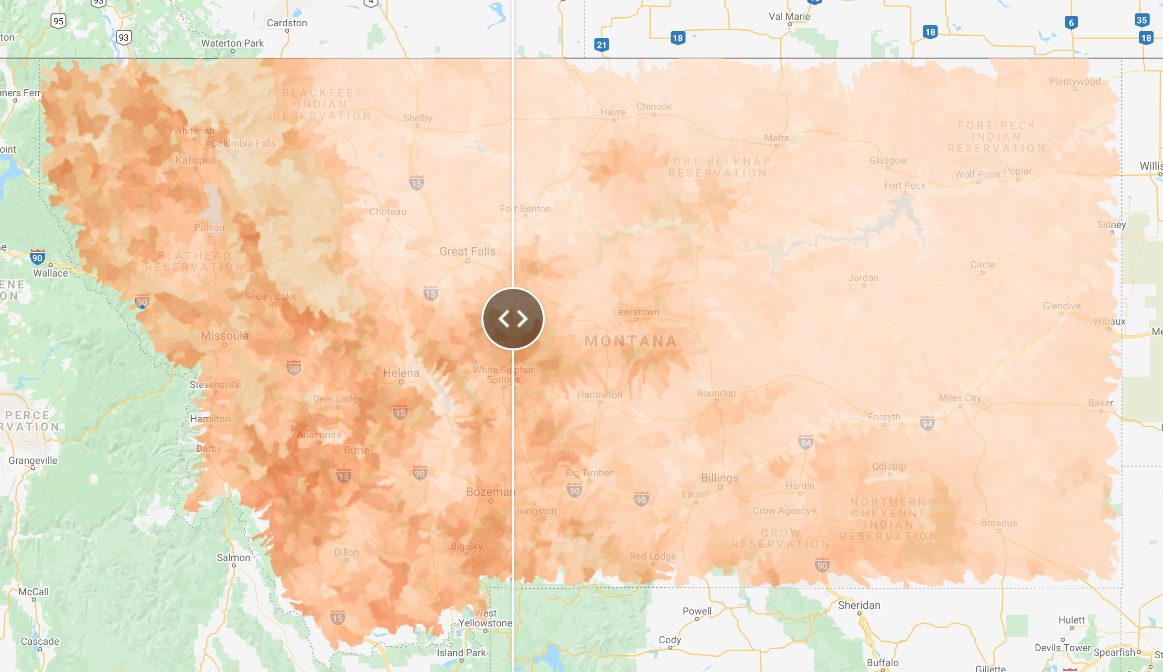
Tracking the spread of aquatic invasive species is key for informing management plans. At the Flathead Lake Biological Station, I built a Google Earth Engine web map for running a machine learning model that predicts invasive species habitat suitability.

Assessing pavement quality with synthetic aperature radar
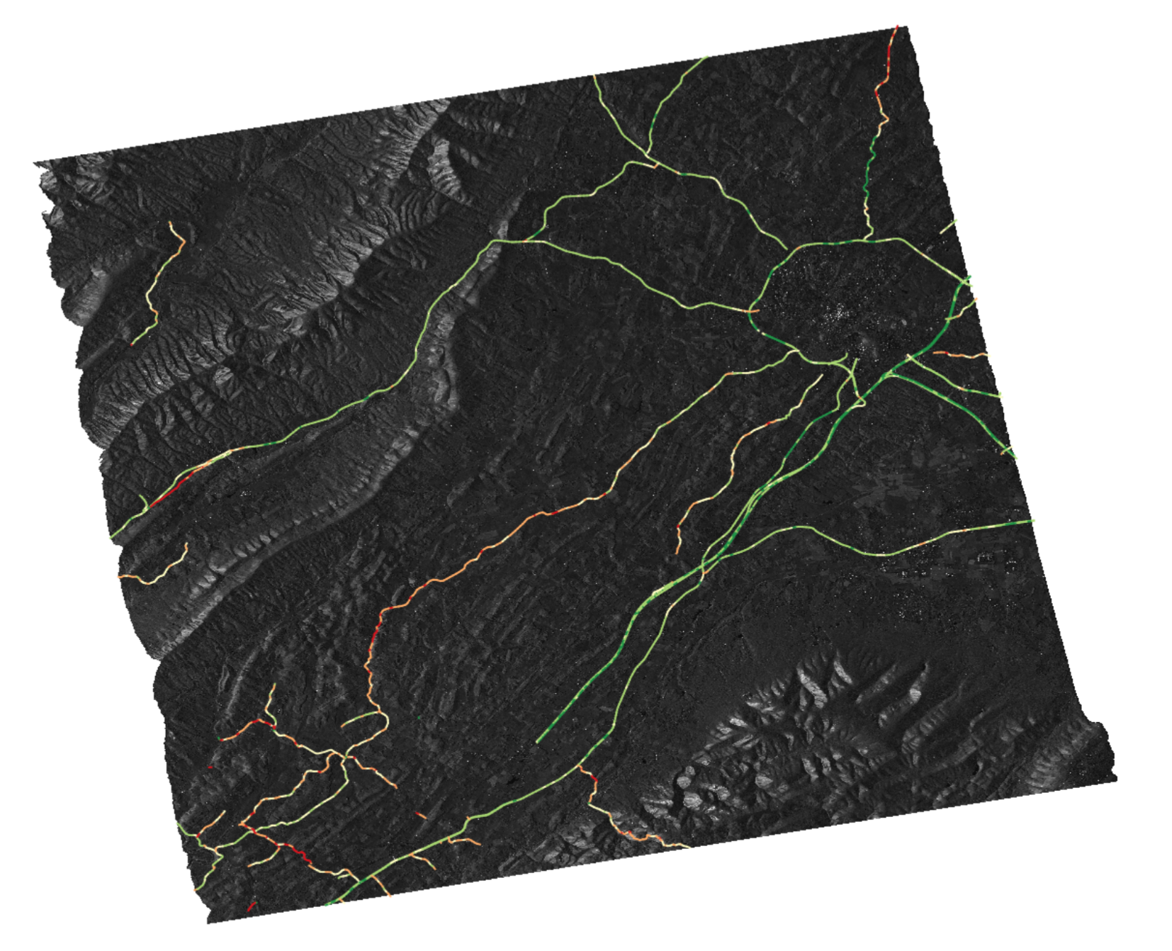
Manual approaches for detecting changes in road pavement quality are expensive and inefficient. In Professor Andrea Vaccari's computer science lab at Middlebury College, I investigated an alternative approach. The automated geospatial Python pipeline I co-developed extracts and processes synthetic aperture radar data along roads, for comparison with ground truth road quality data.